draw.city
Draw an outline on the US map that holds exactly today's number of people.
Every day: One target population a day, the same for everyone: draw an area on the US map that holds as close to that many people as you can. New puzzle: Once a day; the site does not state the time.
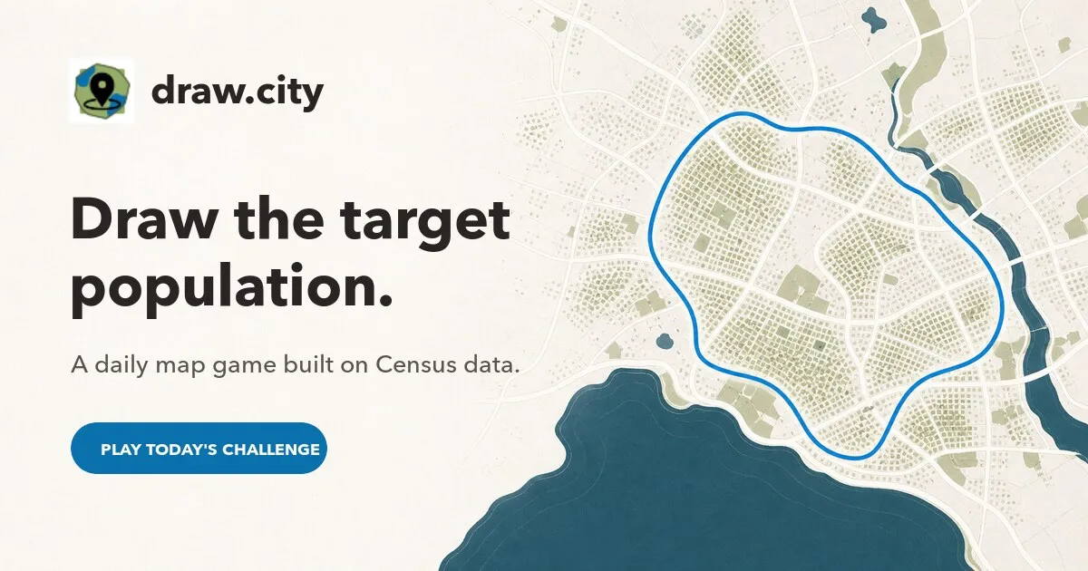
draw.city gives you a target population each day, such as 180,000 people, and you trace an outline anywhere on a map of the United States to match it. The game measures your area against 2020 census data and scores how close you came. A bonus round asks you to guess the area's centre of population.
About draw.city
draw.city is a daily map game from BlockAtlas, a site of US census maps. Each day has one target, a number of people, and you pick a difficulty and draw a single closed outline anywhere in the United States that you think holds that many residents.
When you finish, the game counts the people inside your shape from 2020 census blocks (or census tracts for very large areas) and shows your result with the land area and population density. You can then try a bonus: guessing where the centre of population of your area lies. The game explains that the answer is shown as a band rather than a point, because census blocks report totals without saying where in the block people live.
An archive lists a challenge for every past day with its target, and a free draw mode lets you explore where people live. You can share a link to your result, and logging in with a BlockAtlas account is optional. It suits map lovers who want to build an instinct for how many people live in a city, a county or a stretch of countryside.
How to play draw.city
- Open draw.city to see today's target population.
- Choose a difficulty and select Draw your area.
- Trace one complete outline on the US map.
- See how many people live inside it, with area and density.
- Try the bonus guess for the centre of population, then share your result.
Tips
- For small targets, a few blocks of a dense city go a long way; for large ones, think in counties.
- Rural areas add land without adding many people, so use them to fine-tune.
- Check the density of your result to calibrate the next day's drawing.
Questions
What data is used?
The 2020 US census, counted by census blocks for most areas and by tracts for very large ones.
Can I play past days?
Yes, the archive lists a challenge for every day with its target.
Do I need an account?
No. Logging in with BlockAtlas is optional.
Games like draw.city
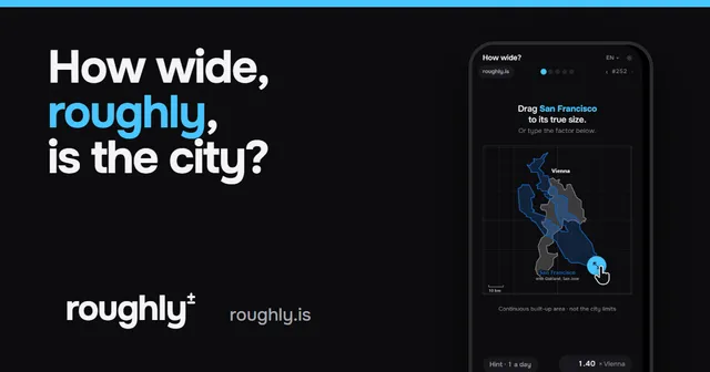
How wide? roughly.
Estimate sizes on the map, roughly
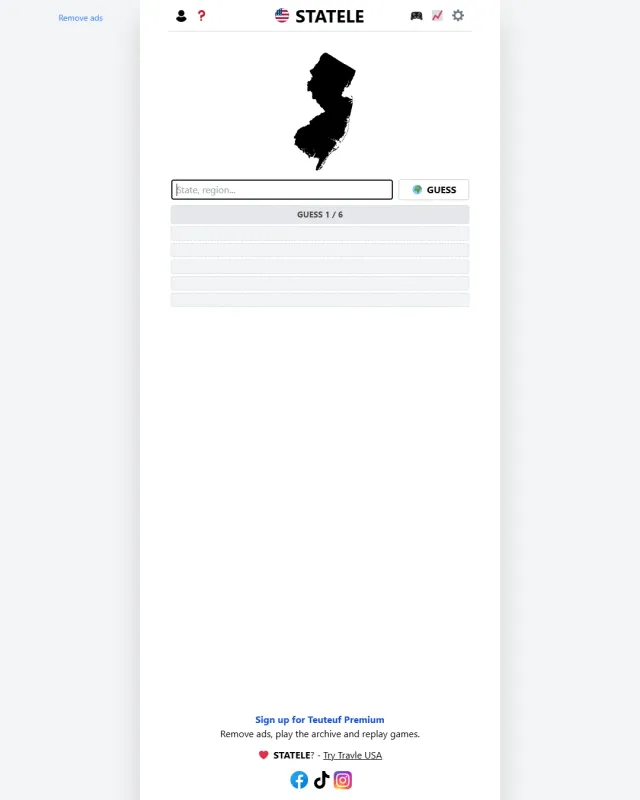
Statele
Name the US state from its outline
Ballot Blocks
Read a US neighbourhood and guess its vote
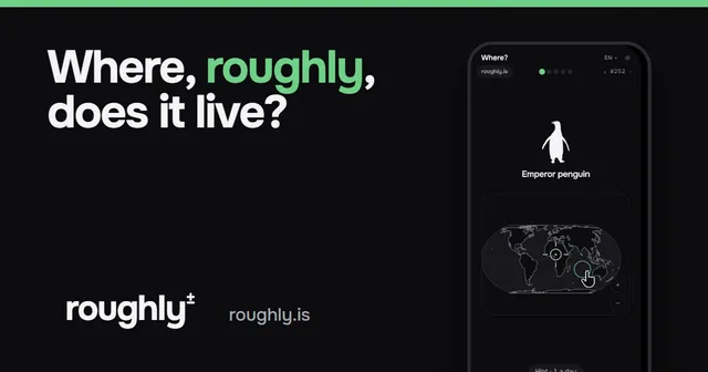
Where? roughly.
Place things on the map, roughly
Chartle
Name the country drawn in red on today's data chart, in five guesses.
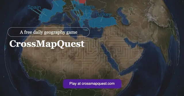
CrossMapQuest
Name a country that fits two criteria at once, five rounds a day.
Earthle (Capitalle)
Name the day's country from its silhouette in six guesses.
Flagdoku
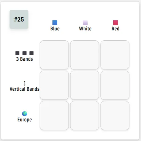
Fill a 3x3 grid with flags that match both their row and their column.