GeoSlice
Draw a line across the day's map to split its population as evenly as you can.
Every day: Three new places on the map every day, the same for everyone; draw lines to split each one's population in halves, thirds or quarters as evenly as you can, scored out of 100 a round against real population data. New puzzle: Midnight in your own time zone, as the FAQ states.
GeoSlice gives you three places on a map each day, from a slice of one country to a stretch of a continent. In Halves you drag one line to split the population 50/50; Thirds uses three spokes from a centre point and Quarters two lines at right angles. Each round scores out of 100 by how close your pieces come to an even share.
About GeoSlice
GeoSlice is a daily geography puzzle about where people live. The map shows a real place, and your task is to cut it into pieces holding equal numbers of people. The puzzle size changes from day to day on purpose: one round may be a close-up of a single country, another a large part of a continent, and the day's rounds always span at least two continents.
There are three ways to cut. Halves gives you one line to drag and rotate until you think each side holds half the population. Thirds puts three spokes around a centre point, and Quarters two lines locked at right angles. When you lock in, the game shows the real split from WorldPop's gridded population estimates and scores the round out of 100. A green dashed line then shows the single adjustment that would have done best.
The daily is free and needs no account; stats and streaks are kept in your browser. A free account puts you on the leaderboard and earns XP for daily play. A weekly challenge measures something other than people, such as animals, volcanoes or airports. A paid Premium plan adds the archive of past days, unlimited rounds and modes for any country, US states, UK counties, Canadian provinces, Australian and Indian states and world regions.
It rewards a feel for where cities cluster: a line through empty desert barely matters, while a line past a single megacity can swing the whole score.
How to play GeoSlice
- Open GeoSlice and choose Halves, Thirds or Quarters.
- Look at the day's map and think about where its people are concentrated.
- Drag and rotate the line or lines to split the population as evenly as you can.
- Lock in to see the real population on each side and your score out of 100.
- Play the day's other rounds, then share the map image or your day's text result.
Tips
- Find the largest cities first; where they fall decides most of the split.
- Empty land counts for nothing, so a line can cross deserts and mountains freely.
- After locking in, study the green dashed line to learn how the ideal split differed from yours.
- Dense river valleys and coasts often hold far more people than they look like on the map.
Questions
When does a new GeoSlice puzzle come out?
At midnight in your own local time zone.
How is GeoSlice scored?
Each round is out of 100, comparing your split with the real population on each side.
Where does the population data come from?
From WorldPop's gridded population estimates, with borders from Natural Earth.
Is GeoSlice free?
Yes. The daily game in all three modes is free. Premium adds the archive, unlimited play and extra map modes.
Do I need an account?
No. A free account is only needed to appear on the leaderboard and earn XP.
Games like GeoSlice
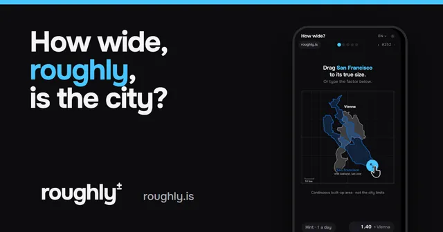
How wide? roughly.
Another estimation game on the map: resize one city's outline until it matches another.

Which way? roughly.
Draw a river or a mountain range from memory on a blank map.

Where? roughly.
Pin five animals on a blank world map, roughly where they live.
Geopolitix
Order five countries by a daily statistic, for players who like population figures.
Chartle
Name a country from a chart of real data, another numbers-driven geography daily.
Globle
Find the mystery country on a globe by how close each guess is.

EraGuessr
Look around a historical scene, then guess where on Earth and when in history it is.

GeoBattl Daily Challenge
One geography game a day, the same targets for everyone, with a leaderboard.