INSET
Drag a country to its true size on a map of somewhere else, five times a day.
Every day: Five countries a day, the same five for everyone in the world: each is dropped on a map of somewhere else at the wrong size, and you drag it to what you think is its true size. New puzzle: Midnight (the listing does not name the time zone).
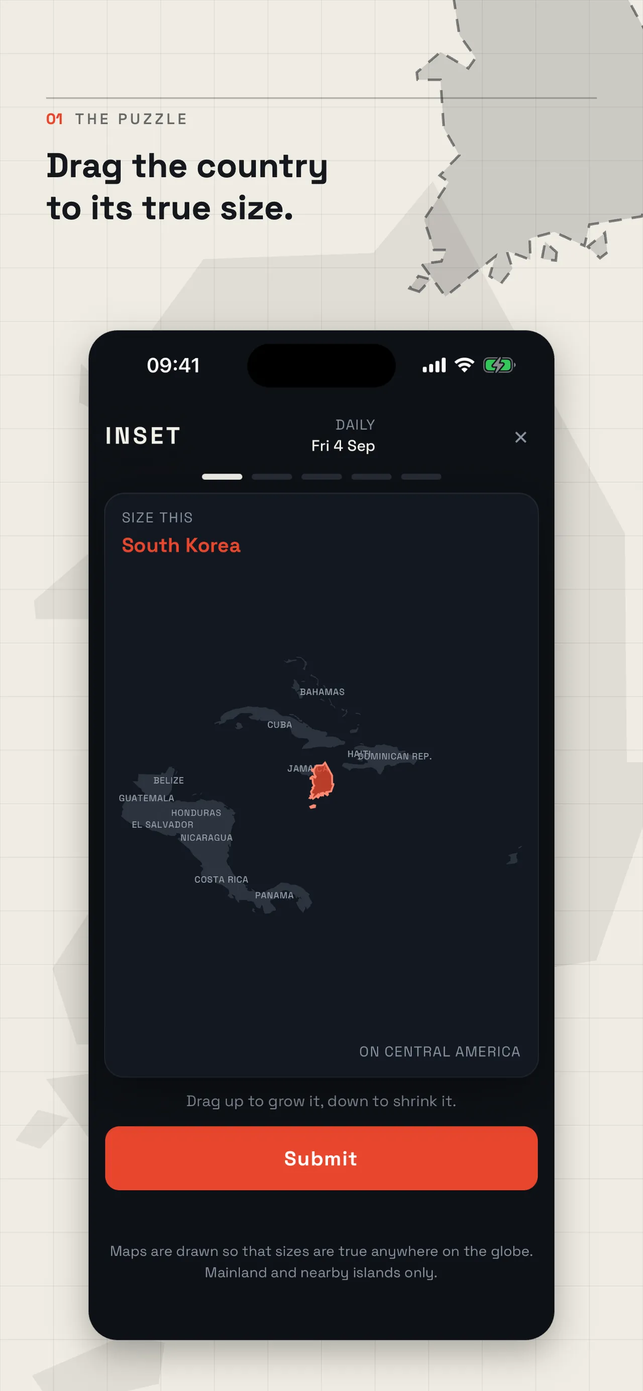
INSET is a daily geography game on iPhone and the web about how big countries really are. Each day five countries land on maps of other regions at the wrong size; you drag each one until it looks right, then see the real figure. Everyone plays the same five, with a worldwide scoreboard.
About INSET
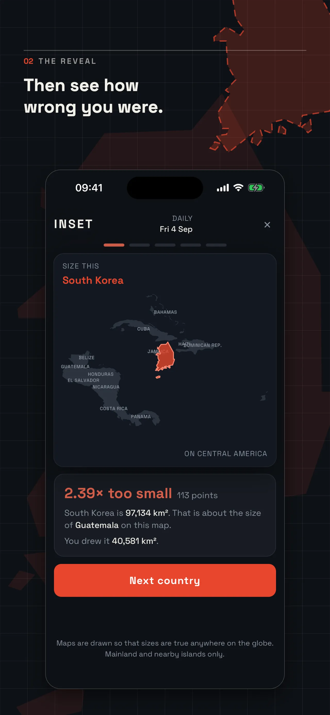
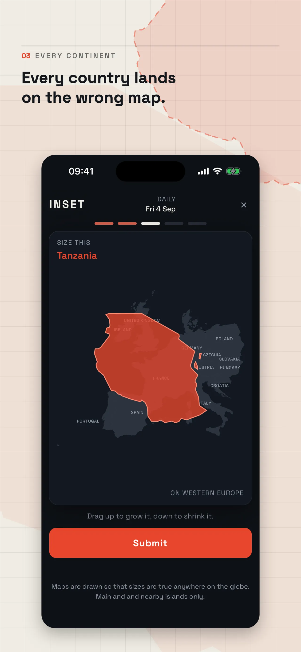
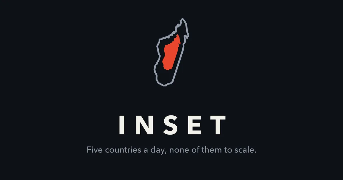
INSET has one gesture. A country appears on a map of a region it does not belong to, South Korea over Central America or Tanzania over Western Europe, drawn at the wrong size. You drag up to make it bigger and down to make it smaller, judging it against the countries around it, and submit. It then snaps to its real size and the game tells you how far off you were, gives its real area and names a country on that map of about the same size.
The maps are drawn so that area is true anywhere on the globe, so the only thing working against you is the stretched world map most people grew up with. Each round scores up to 1000 points on how close your area was; being out by a tenth still scores near 800. There is one go per round.
The daily is five rounds, about a minute in all, replaced at midnight. Everyone in the world gets the same five countries, and maps span every continent. The same country does not come round again for at least a week. Pick a name to see where your day lands on the scoreboard, worldwide or within your own country.
INSET is made by Med Services Ltd and came out in September 2026. It can be played in the iPhone app or on its website, with no sign-in, email, account or ads. Country outlines come from Natural Earth and cover the mainland and nearby islands.
How to play INSET
- Open INSET and start today's daily.
- Read which country you are sizing and look at the map it has landed on.
- Drag up to grow the country and down to shrink it until it looks the right size against its neighbours.
- Submit to see its real size, how far off you were and your points.
- Play all five countries and compare your total on the scoreboard.
Screenshots
Tips
- Countries far from the equator are smaller than world maps suggest; shrink them more than feels right.
- Countries near the equator are often bigger than you expect.
- Use the labelled countries on the map as rulers; the result names one of similar size.
- Being within a tenth still scores near 800, so a careful estimate beats a bold one.
Questions
Is INSET the same for everyone?
Yes. Everyone in the world gets the same five countries each day.
When do the countries change?
The five rounds are replaced at midnight.
Is INSET free?
Yes, with no account, sign-in, email or ads.
Can I play on a computer?
Yes. The daily can be played on inset.wardrun.com as well as in the iPhone app.
Games like INSET
GeoSlice
Draw a line on the day's map to split its population evenly
Daily Map Challenge (World Flag Map)
Ten country shapes a day to name and place

Worldle
Name the day's country from its outline
Globle
Find the day's country on a globe that warms as you get closer
Geographly
One country a day, with its size among the clues
Estimania
Five estimates a day, scored on how close you get
Bordivide (GuessDash)
Draw the missing border between two neighbouring countries.
GeoGuardians
Decode an alien's riddles about Earth and triangulate the place with probes on a world map.