SatPin (SatPixel)
Rate itPin five satellite views of Earth on the world map each day.
Every day: SatPin Daily: five satellite images a day, the same for every player, each to be pinned on a world map, with points for how close you get. New puzzle: Once a day (the site says the daily challenge is updated daily; no hour given).
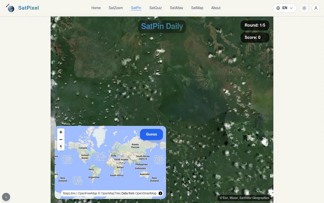
SatPin shows you a stretch of Earth from a satellite and asks you to click where it is on a small world map. The daily challenge has five rounds, and the closer your pin lands to the real spot, the more you score. Themed sets cover volcanoes, mega dams, atolls, river deltas, planned cities and more.
About SatPin (SatPixel)
SatPin is one of the satellite games on SatPixel, a site built around Esri and Maxar satellite imagery. In SatPin Daily, each round fills the screen with a view from above: a forest with a winding river, a coastline, a city grid. A small world map sits in the corner, and you zoom in and click where you think the view is, then press Guess.
The daily set has five rounds, with a running score at the top. Your points depend on distance: the closer your pin lands, the higher the round's score. The clues are the ones you would read from space: river courses, road patterns, field shapes, building layouts and the colour of the land.
Beyond the daily, SatPin has some 20 themed categories, split between human works such as mega dams, artificial islands, planned cities and energy fields, and natural sights such as volcanoes, atolls and river deltas. The site's other games include SatZoom, where you name a city as a satellite view zooms out. The game is in English, Chinese and Spanish.
How to play SatPin (SatPixel)
- Open SatPin Daily on satpixel.com.
- Study the satellite image: rivers, roads, fields, buildings and the colour of the land.
- Zoom the small world map and click where you think the place is.
- Press Guess to see the real spot and your score for the round.
- Play all five rounds for your daily total.
Tips
- Look at the vegetation first: rainforest, desert, farmland and tundra narrow the continent quickly.
- Field shapes give away regions: circular pivot irrigation, long strip fields, rice terraces.
- Zoom the map in before you click: a pin a few hundred kilometres off still costs points.
- Try the themed sets to learn what volcanoes, deltas and atolls look like from above.
Questions
How many rounds are in SatPin Daily?
Five, each scored by how close your pin is to the real place.
Where do the images come from?
The imagery is credited to Esri, Maxar and Earthstar Geographics.
Which languages are supported?
English, Chinese and Spanish.
Is it free?
Yes, it plays free in the browser.
Ratings and reviews
No ratings yet. Be the first to rate SatPin (SatPixel).
Games like SatPin (SatPixel)
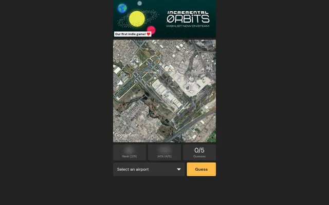
Airport Guessr
Name an airport from a satellite image each day.

GeoGuessr
The best-known pin-the-map game, from Street View instead of from above.
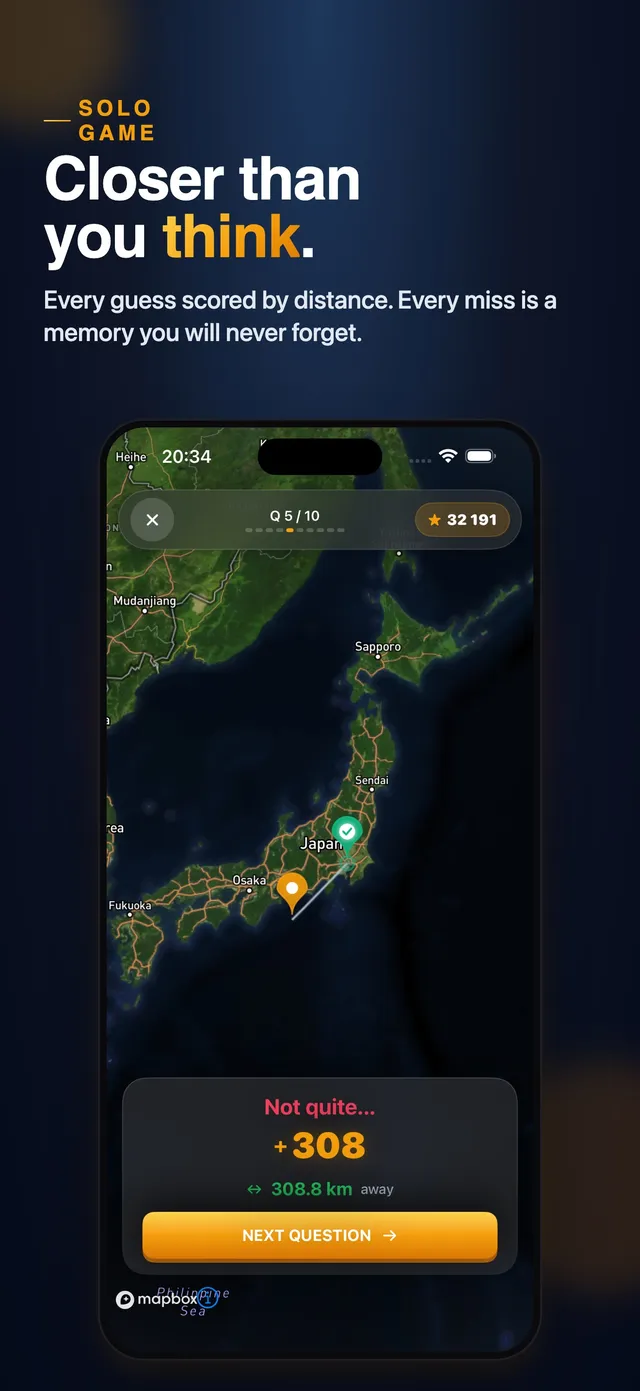
GeoWrecked: Geography Quiz
A daily set where closer pins on a globe score more.
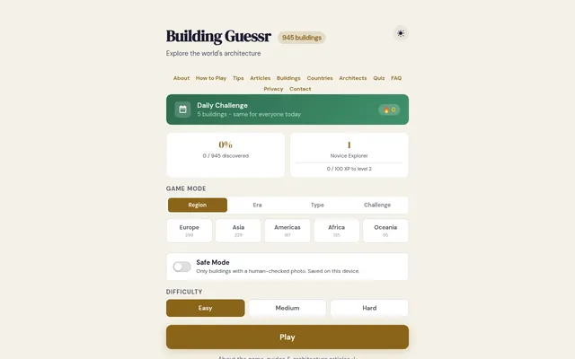
Building Guessr
Pin famous buildings on a world map.
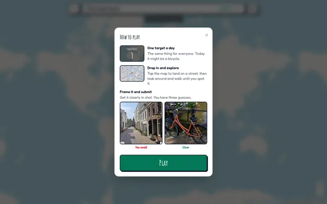
Around Here Somewhere
A daily hunt for a place, on foot in Street View.
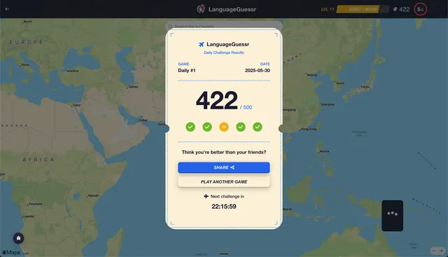
LanguageGuessr
Hear ten seconds of someone speaking and pin where the language is spoken.
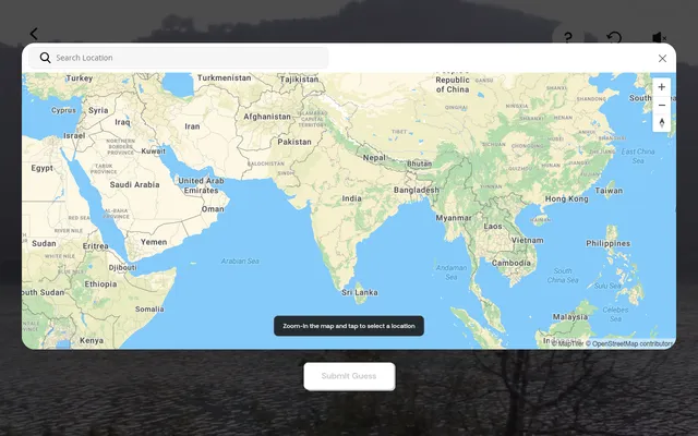
Location Guesser (Times of India)
Watch a short video of a place, then drop a pin on the map where you think it was filmed.
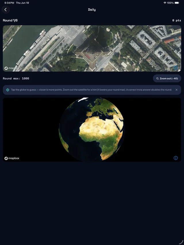
Mercatle: Daily Geography Game
Six label-free satellite views a day: pin each place on the globe, then answer trivia to double the round.