Locatle
Guess which country the day's photo was taken in.
Every day: One street-level photo a day, the same for everyone: guess which country it was taken in, with the distance shown after each guess. New puzzle: Midnight in your local time zone (the puzzle number follows your device's date).
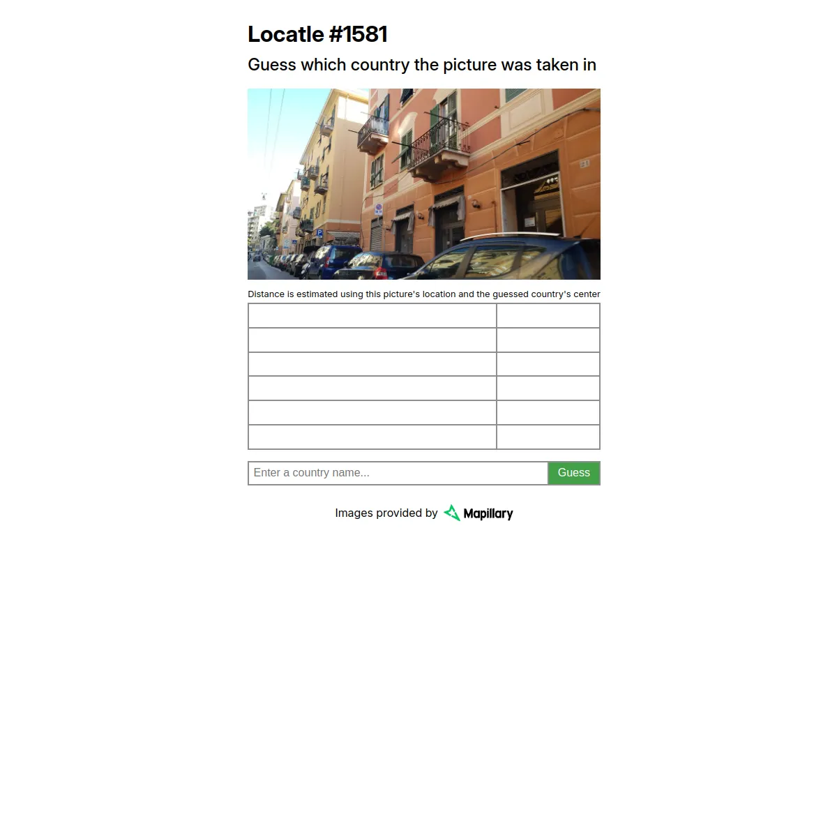
Locatle is a Wordle-inspired daily where you see one street-level photo and guess the country it was taken in. After each guess the game shows the distance from the photo's location to your country's centre, and you share your result as a list of distances.
About Locatle
Locatle is a daily geography game in the Wordle mould. It shows one street-level photo and asks a single question: which country was it taken in? The same photo is set for everyone each day, numbered in sequence (the live puzzle was Locatle #1581), and the pictures come from Mapillary street imagery.
You type the name of a country and guess. After each guess the game shows the distance between the photo's real location and the centre of the country you named, so a smaller number means you are getting warmer. From those distance clues you close in on the answer, with six guesses in all.
There are no pins or maps to drag: you read the scene and name a country, and the only feedback is the distance. When you finish you can share your result as a list of distances, in the familiar Wordle style.
It suits people who like street-view geography and spotting a country from signs, road markings, architecture and landscape. It runs in the browser and is free.
How to play Locatle
- Open locatle.strct.net to see the day's street-level photo.
- Look for clues in the scene: road signs, licence plates, architecture, language and which side cars drive on.
- Type a country name and press Guess.
- Read the distance shown between the photo's location and the centre of the country you named, and use it to narrow down.
- Find the right country within six guesses; a new photo arrives each day, and you can share your distances.
Tips
- Read any text in the scene: shop signs, street names and licence plates often give away the country or its language.
- Note the driving side, road markings and the style of utility poles, which differ from region to region.
- Treat the distance after each guess like a compass: a smaller number means you are closer, so try a neighbouring country next.
- Architecture, vegetation and climate help you fix the continent before you commit to a country.
Questions
What do I guess?
The country where the day's street-level photo was taken.
How does the distance hint work?
After each guess, the game shows the distance from the photo's real location to the centre of the country you named.
How many guesses do I get?
Six.
Where do the photos come from?
Street-level imagery provided by Mapillary.
Is it the same for everyone, and is it free?
Yes. There is one shared photo per day, and the game is free to play.
Games like Locatle

GeoGuessr
Daily challenges placing yourself from Street View

Worldle
Name the country with distance hints

WhereTaken
Guess where the day's photo was taken
Around Here Somewhere
Place the day's photo on the map
Chartle
Name the country drawn in red on today's data chart, in five guesses.
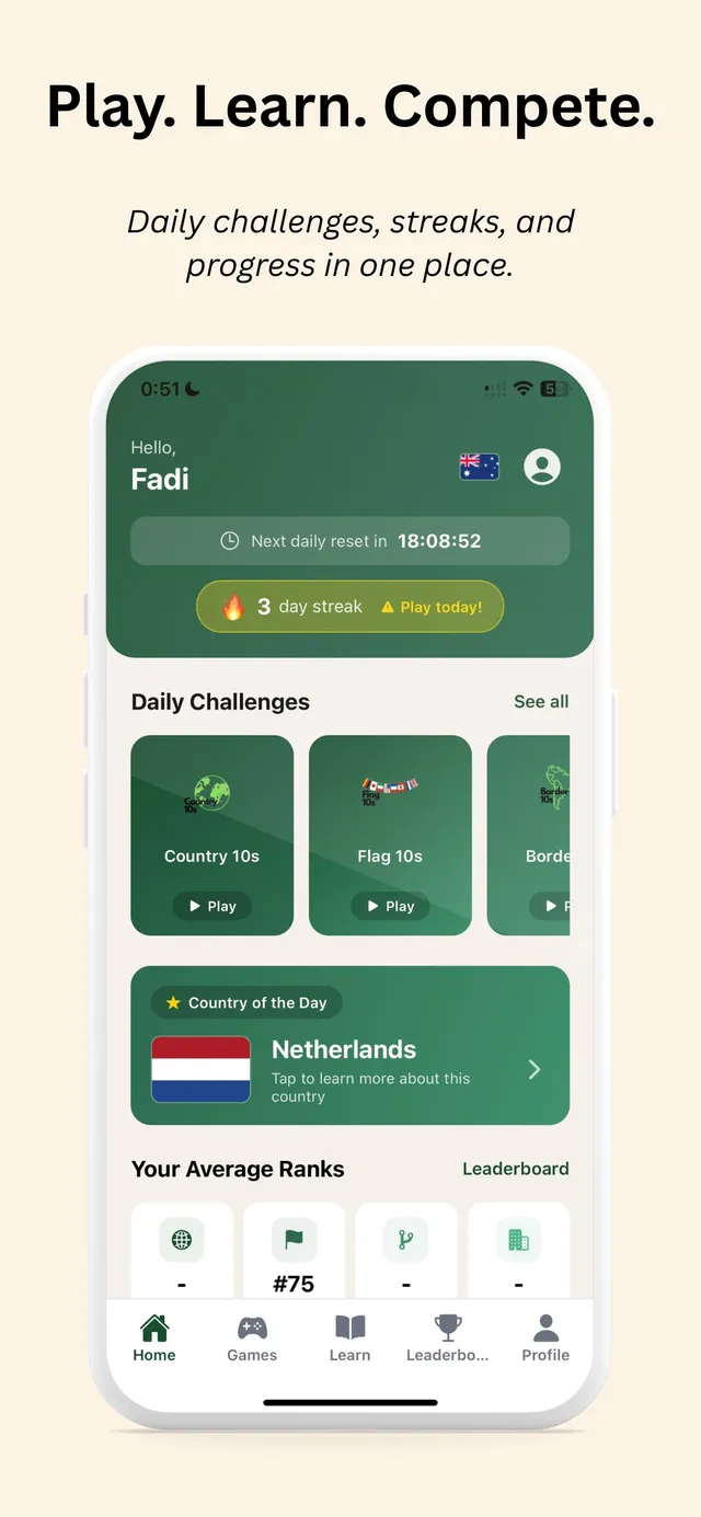
Country10s - Learn Geography!
Name ten countries that fit the day's topic, and race other players on a global leaderboard.
Countryle
Find the hidden country by comparing your guesses on continent, hemisphere, population, temperature and…
CrossMapQuest
Name a country that fits two criteria at once, five rounds a day.