Platedle
Rate itSomeone taped over the state name on a US license plate. Name the state in six tries.
Every day: One real US license plate photo a day, the same for every player, with the state name taped over: name the state in six tries. New puzzle: Not stated; the day's plate number follows the player's local date.
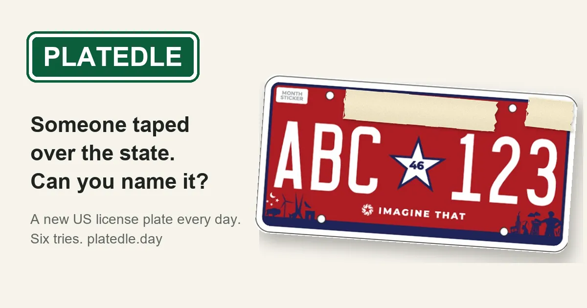
Platedle is a daily geography game built on the road trip license plate game. Each day it shows one real US plate with the state name taped over, starting zoomed in on a small detail. Every wrong guess zooms out and tells you how many miles away and in which direction the right state lies.
About Platedle
Platedle turns spotting license plates on a long drive into a daily puzzle. Each day there is one plate, a real photo of a US license plate, and the part that names the state, along with anything else that spells it out such as a website or county, is covered with tape. You have six tries to name the state.
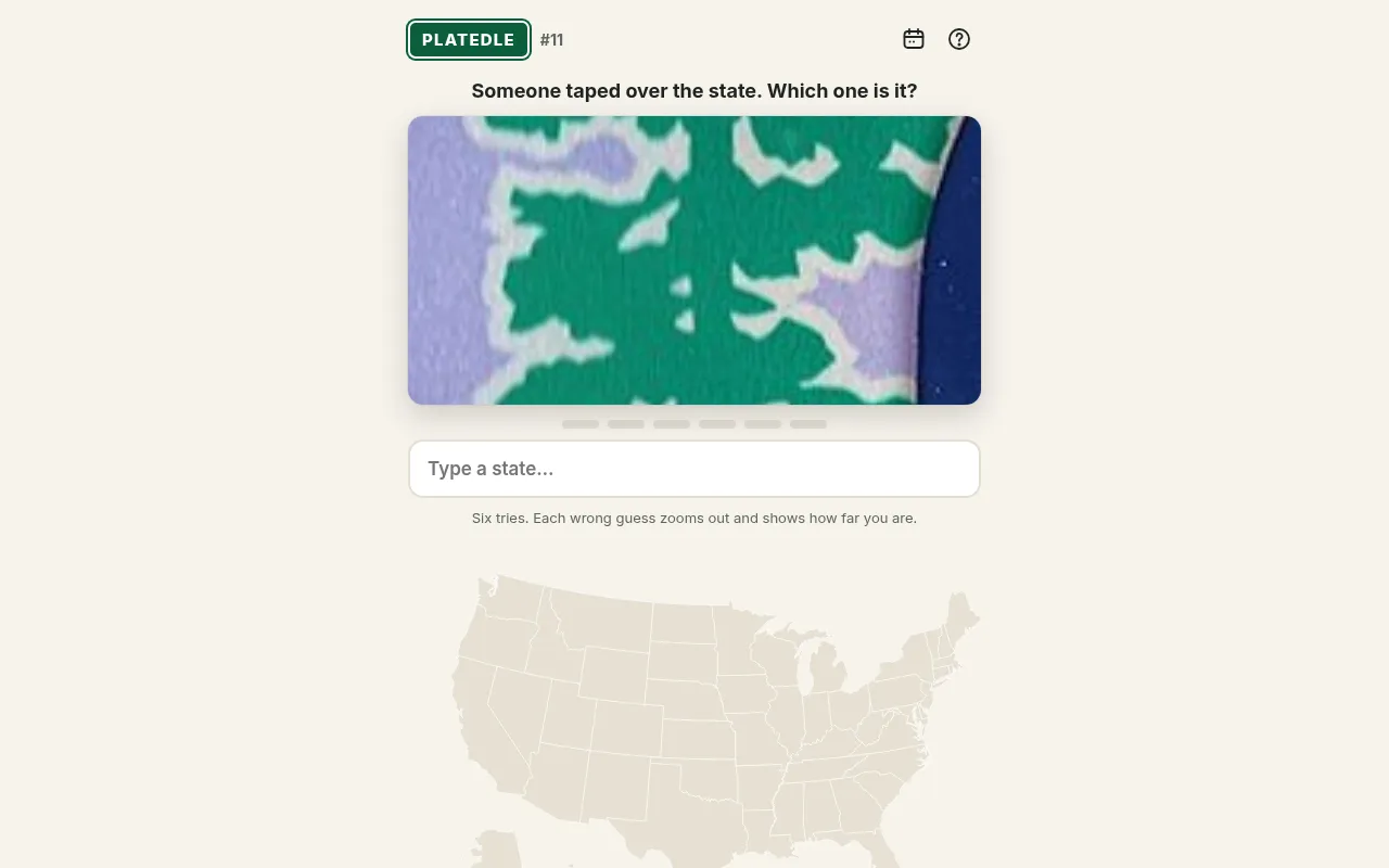
The round starts zoomed in on a small piece of the plate: a corner of a picture, a band of colour or part of a slogan. Each wrong guess zooms out a little, so you see more with every try. After a miss you also get the distance in miles from your guess to the right state and an arrow pointing the way, and a US map shades your guesses from cold blue for far away to deep red for next door. When you get it, or run out of tries, the tape comes off and you see the whole plate.
The plates mix current designs with older ones still seen on the road, from all 50 states. Slogans such as Live Free or Die or Famous Potatoes, pictures of arches, mountains and peaches, and colour schemes are the clues. Past plates stay playable from a calendar; they count in your stats but not your streak.
Platedle is made by Faven Games, a small independent studio that also makes the daily games Eatlas, Tilt and It Took. It launched in October 2026, is free in any browser with no account, and may show a few ads kept away from the game. It suits anyone who has played the plate game in the car, and players of Worldle and Statele who want a different kind of clue.
How to play Platedle
- Open platedle.day and look at the zoomed-in detail of today's plate.
- Type the US state you think it is into the box and pick it from the list.
- If you are wrong, read the distance in miles and the arrow, and check the coloured map to see how close you were.
- Look at the wider view of the plate that each wrong guess reveals and guess again, up to six tries.
- When the round ends the tape comes off the full plate; share your result as a row of coloured squares with no spoilers.
Screenshots
Tips
- Slogans and pictures give a lot away: a peach, an arch or a lighthouse narrows the region fast.
- Use your first guess on a state in the middle of the country, so the distance and arrow cut the map down quickly.
- Older designs appear too, so a plate that does not match the current one can still be right.
Questions
Is Platedle free?
Yes. It plays in any browser with no account. The makers say it may show a small number of ads, kept away from the game itself.
Can I play past plates?
Yes. A calendar lists every past day, and each one stays playable. Past plates count in your stats but not in your streak.
Are the plates real?
Yes. Every plate is a real photo, from current designs to older ones you may still see on cars.
Ratings and reviews
No ratings yet. Be the first to rate Platedle.
Games like Platedle
Statele
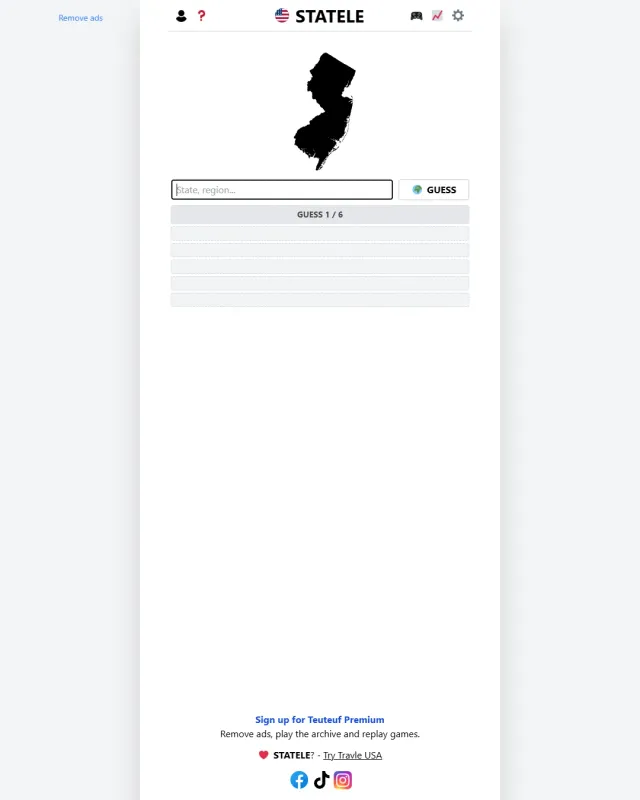
Also names a US state in six guesses with distance and direction, from its outline rather than a plate
WhereTaken US
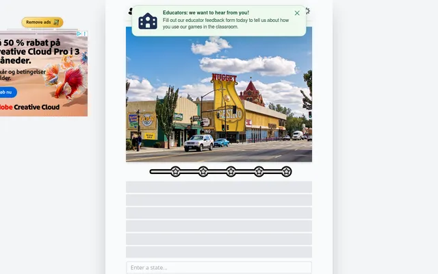
Name the US state from a daily photo, with bonus rounds after
Worldle
The same six guesses with miles and an arrow, for countries by their outline
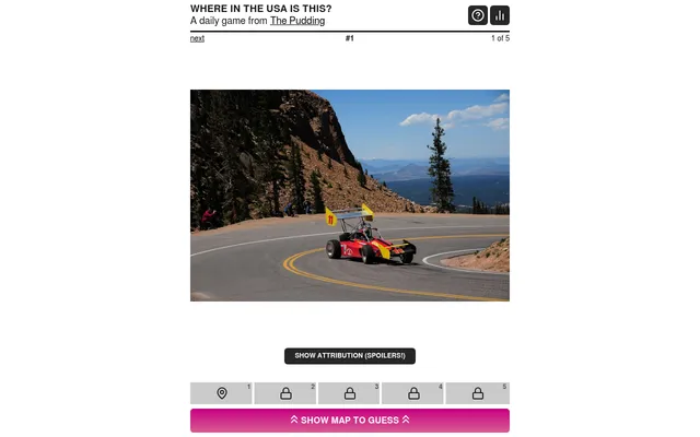
Where in the USA is this?
Find a place in the USA from photos, a road trip feel like the plate game
Statedoku
A daily grid of US states that fit row and column labels, for state knowledge of another kind
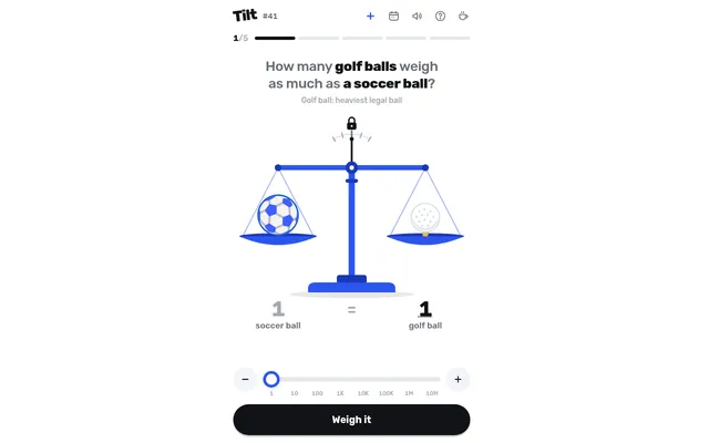
Tilt
Faven Games' other daily game: balance a scale by estimating weights
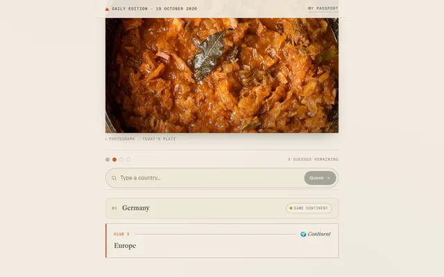
Blind Tasting
One dish, one country, four guesses to find where it comes from.
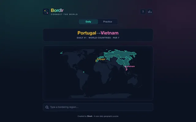
Bordlr
Connect two countries by naming the lands that border each other in between.