Redacted Maps
A coloured map with its title blacked out: work out what the data shows.
Every day: One coloured data map a day with its title hidden: guess what the data shows, with clues after each wrong guess. New puzzle: Midnight.
Redacted Maps is a free daily puzzle. Each day you see a coloured map of countries or states with its title hidden, and you have to guess what the data represents, such as average elevation, internet users or the national sport. Each wrong guess reveals more: the unit, then the category, then a hint, and your last guess is multiple choice.
About Redacted Maps
Redacted Maps shows you one map a day. It is a choropleth, the kind where each area is shaded by a value, but its title is hidden. Your job is to guess what the colours mean.
You type a guess and press Enter. Before you guess you have three reveals: tap any area of the map to peek at its hidden data. Wrong guesses buy you more clues. After one wrong guess the game shows the unit, after two the category, and after three a written hint. Your final guess is multiple choice, with four possible answers of which one is real. When you get it, the game tells you how many guesses it took, and shows how you did against other players.
The subjects are the sort of thing you see in atlases and data stories: average elevation, internet users, the dominant industry, the main energy source, the most common surname or the national sport, mapped across countries or across US states. A new puzzle comes out every day at midnight. Past maps are kept in an archive you can browse and replay.
The site describes itself as a free daily puzzle game that collects as little data as possible.
How to play Redacted Maps
- Look at today's map: areas are coloured by a hidden statistic, and the title is redacted.
- Use up to three reveals by tapping areas to see their hidden values.
- Type what you think the map shows and press Enter.
- Each wrong guess reveals more: the unit after one, the category after two, a hint after three.
- Your final guess is multiple choice: pick the real answer out of four.
Tips
- Spend reveals on extremes, the darkest and lightest areas, to see the range of values.
- Once the unit appears, think about what is usually measured that way.
- Check the archive to get a feel for the kinds of data the maps use.
Questions
When is there a new Redacted Maps puzzle?
Every day at midnight.
Can I play older maps?
Yes, there is an archive of past puzzles.
Is it free?
Yes.
Games like Redacted Maps
HeatMapQuest
A map coloured by a hidden statistic to identify, every day
Chartle
A daily data chart where you work out what it shows
Geographly
A daily country puzzle built from facts and figures
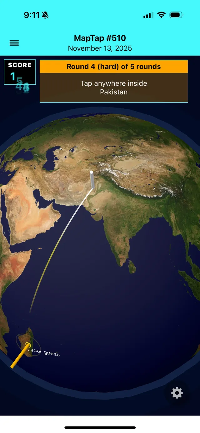
MapTap
A quick daily map game
Unzoomed
Name the city from a satellite view that zooms out after every wrong guess.
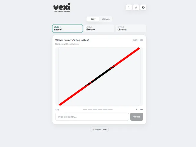
Vexi
Three disguised flags a day: name the country.
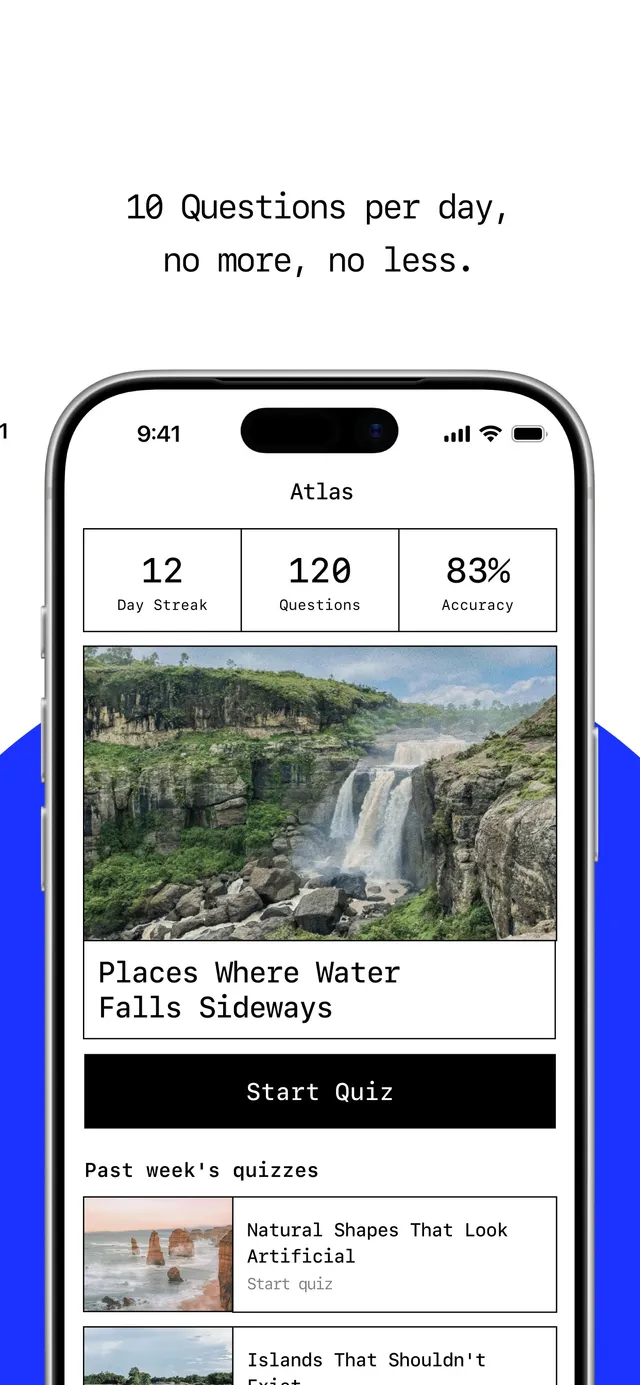
Atlas: Daily Geography Quiz
Ten geography questions a day on one chosen topic, then see how the world did on the same set.
Bordivide (GuessDash)
Draw the missing border between two neighbouring countries.